Getty Images/iStockphoto
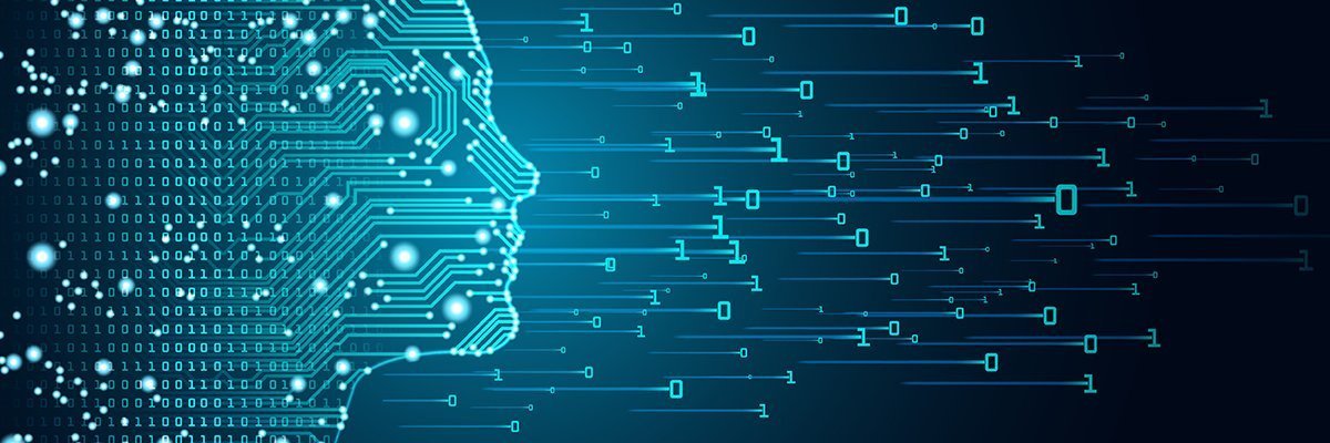
Geographic information systems transform digital twins
Digital twins built with geographic information systems create a powerful tool that analyzes data to examine component relationships and simplify system complexity.
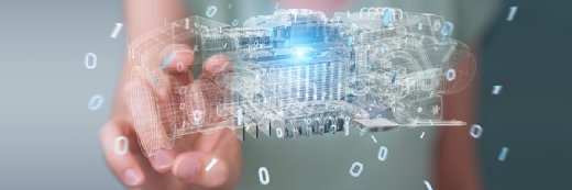
Many organizations working toward digital transformation have created a digital twin of their facilities or operations.
The next critical step is to connect these digital twins to other systems -- a move which organizations can accomplish using a geographic information system (GIS).
Successfully deploying a digital twin means extending a GIS, the technology known for delivering location intelligence across a company's domains, as a recent VentureBeat article reported.
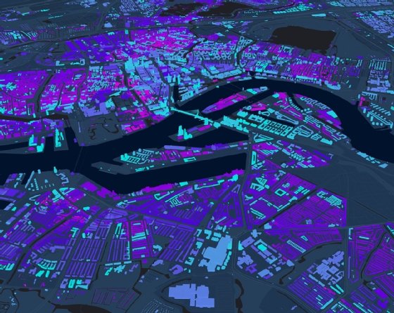
Digital twins built using GIS software can store, integrate and analyze data keyed to the critical factor of location. That information can be projected as layers on a digital map, observed via dashboards or modeled as a digital twin. By adding maps and geographic insights to digital twins, a GIS helps users see patterns or trends, add information such as demographics or consumer behavior, and draw relevant insights. Moreover, a GIS adds visualization, monitoring and planning based on historical and real-time data about the natural and built environment to the functionality of a digital twin.
Conceptually, this represents a significant leap forward because digital twins powered by a GIS provide radically enhanced contextual awareness:
- Government facilities use a digital twin of their buildings and campuses to support real-time needs, such as security and maintenance, as well as long-term issues, such as sustainability and flood management.
- Hospitals use digital twins for immediate resource allocation, with the status of every bed and operating room, and even the current traffic in the emergency room, reflected by the twin.
- Utilities use digital twins to monitor and visualize large networks of power lines, gas and water assets for maintenance, risk mitigation and other business needs.
Reality capture
There are two major drivers of the link between digital twins and a GIS. The first is visualization. GIS technology includes tools that enable decision-makers and operators to examine the relationships among various components of reality and forecast what could or might happen based on circumstances such as weather events or strategic business decisions.
A second reason a GIS is critical to a digital twin is because of the complexity of modern systems. A GIS aims to make complex, interconnected problems easier to understand, analyze and solve by organizing data based on location.
Modern GIS software clarifies even the most complex issues by helping make sense of massive volumes and varieties of data streaming in real time. The authorities that oversee some of the world's largest ports, for instance, have an enormously complex set of facilities they have recreated with GIS-powered digital twins. These twins are ways of mirroring, in real time, some of the most dynamic, traffic-heavy systems in the world. Huge container ships, each containing hundreds of containers, constantly move in and out of the ports. These containers must be offloaded, sorted and distributed to waiting trucks.
A major rationale for building digital twins is to facilitate the increasingly autonomous nature of modern ports. If the status of every ship, crate, dock and crane, along with every other component of a port, can be mirrored, port authorities can quickly troubleshoot and respond to any problems.
Because a GIS is the gold standard of visual data integration and storytelling for complex systems, visualization is a compelling reason to build these twins on GIS platforms. Constructing digital twins of airports follows a similar logic. They empower airport administrators to monitor the movement of thousands of aircraft, people, public transportation and cars in an environment that is both security-rich and reliant on porous links to the outside world.
This concept can be scaled up to entire cities, too. With the influx of remote sensing and other IoT-enabled devices, cities generate an enormous amount of data from different sources, organized by different agencies. A GIS provides a common meeting ground for this data. The city of Boston, for instance, uses a GIS to help planners visualize how new developments will affect the urban environment. In this way, the digital twin facilitates a much faster and streamlined review process.
Forecasting the future
GIS-based digital twins enable leaps into the future by using visualization and multiple data streams. City planners can measure the effect of large development projects by plugging the plans into a locale's digital twin. Through immersive environments, these twins provide a visceral experience that is particularly useful for communication with outside stakeholders.
It is this move from depicting the present to analyzing possible futures that the concept of the mirror becomes distinct from that of a model.
A 3D model of a development plan, created with Building Information Modeling software, is useful. What a digital twin adds is crucial context, elevating that model into something more resembling an accurate mirror of the real world. Added data sources -- such as historical climate patterns, topographic maps and demographic predictions -- bring that model more in line with a simulacrum of the world, both as it is and as it might be.
Today, digital twins can function on a micro level -- able to mirror the status of a single object or instrument, such as an electrical transformer or traffic signal. At the same time, they can help visualize a system or array of assets or a location. Crucially, digital twins benefit directly and uniquely from the inclusion of GIS data about the system, assets or location. A modern GIS serves as one of the foundations for digital twins, providing a holistic view of the past, present and future world.
About the author
Matt Piper is global director for industry solutions at Esri and leads the utilities, water and architecture, engineering and construction sectors. Piper is a professional engineer who has 20 years of experience working in the utilities industry. He is known for being a subject matter expert in asset management, GIS and business intelligence and as an industry thought leader on how the value of GIS can be applied across an organization.
Dig Deeper on Internet of things platform
-
![]()
digital twin
By: David Essex
-
![]()
Virtualising urban environments and smart cities with digital twins
By: Martin Schwirn
-
![]()
China Telecom, China Unicom, ZTE unveil digital twin-based network assurance
By: Joe O’Halloran
-
![]()
The industrial metaverse drives benefits across operations and industries
By: Martin Schwirn